Malaysia & Singapore by train and bus
Plain-English guides to the lines, fares and sights — checked against the operators, built on the official open-data feeds, and paired with a free live tracker that shows every bus and train moving.
Our rendering of the KL rail network · basemap © OpenStreetMap contributors · Protomaps
No guide matches that — try a place, a line or a fare word.
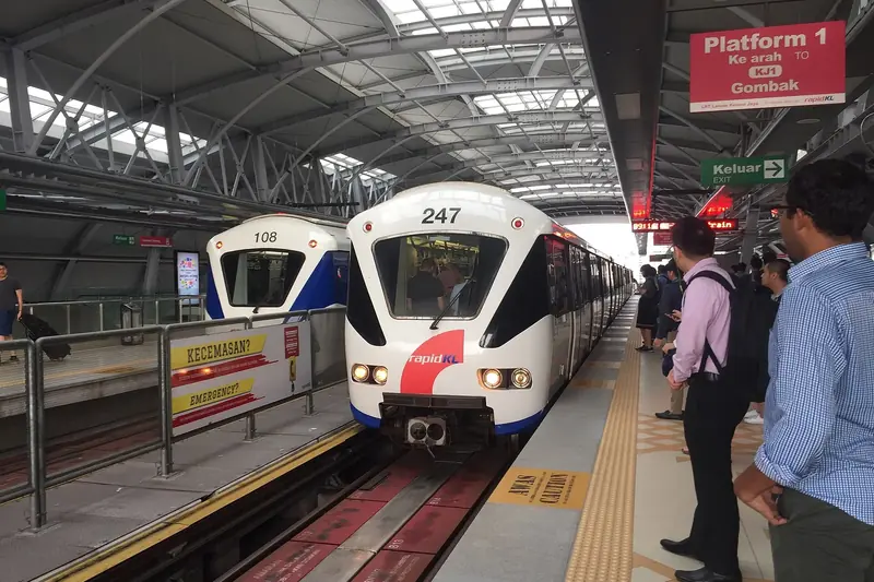 MalaysiaKuala Lumpur, Penang, Melaka & beyondLRT, MRT, KTM and city buses, the passes worth buying and the sights by train.
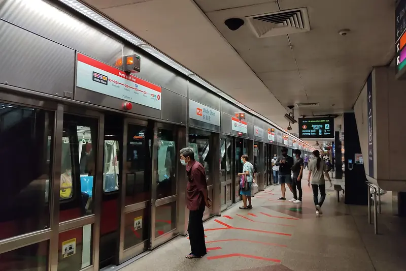 SingaporeThe MRT, buses and faresPaying by card, the Tourist Pass, and the station and exit for every big sight.
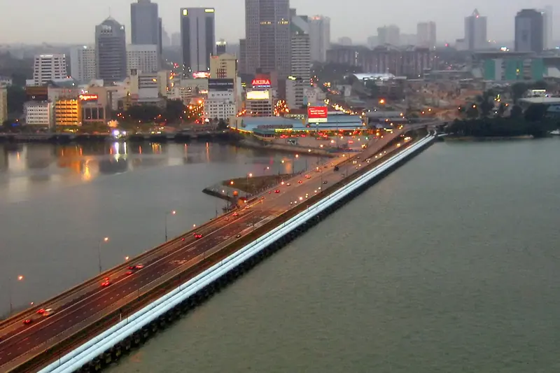 CrossingJohor Bahru ↔ SingaporeThe shuttle train, the buses, arrival cards and the RTS Link coming in 2027.
Malaysia
All Malaysia guides →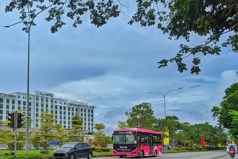
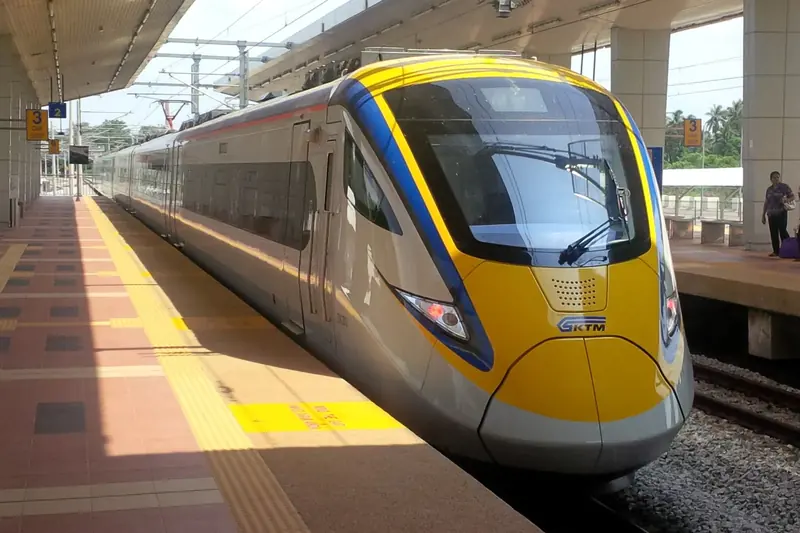
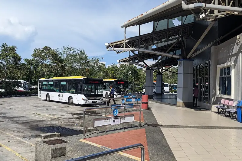
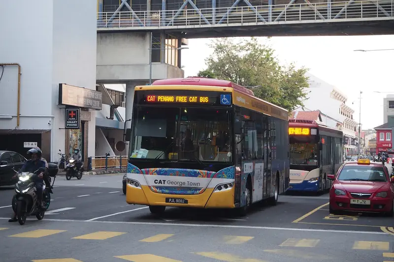
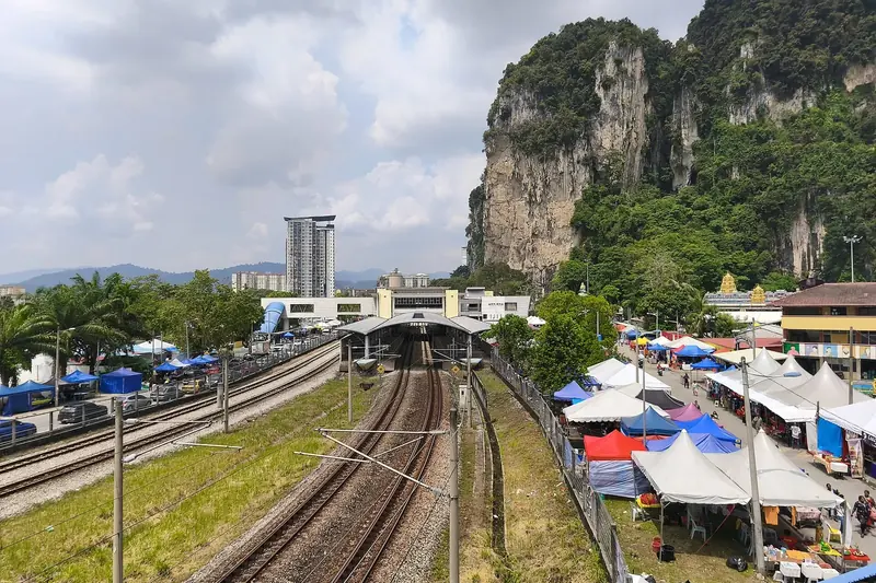
Singapore
All Singapore guides →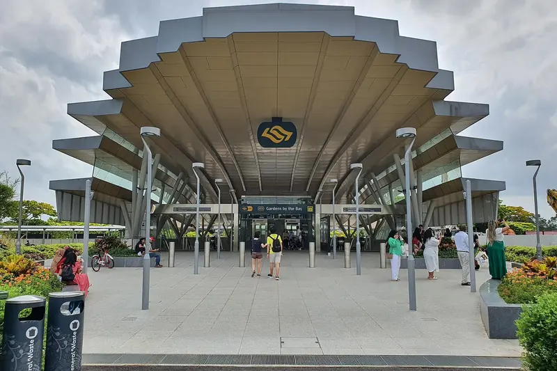
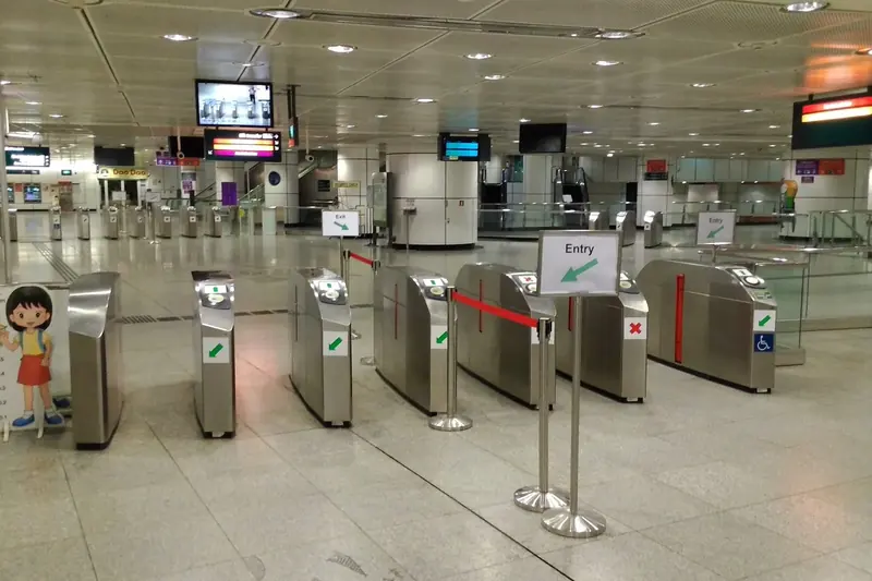
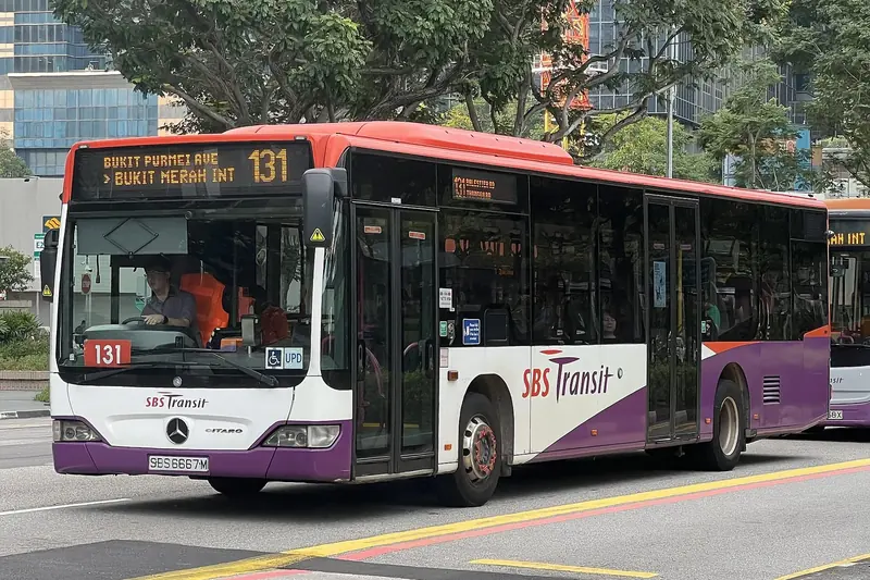
Airports & borders
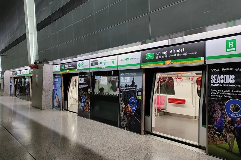
Quick answers
Can I tap a bank card on KL trains?
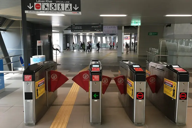
Not on Rapid KL trains yet — the LRT, MRT, Monorail and BRT gates take a Touch 'n Go card or a token. KTM Komuter gates do accept contactless Visa, Mastercard and MyDebit cards and Apple Pay. Read the guide →
How do I get from Johor Bahru to Singapore without a car?
Take the five-minute KTM Shuttle Tebrau train from JB Sentral to Woodlands (RM5), or a cross-border bus such as Causeway Link CW1, CW2 or CW5 or SBS Transit 160, 170 or 170X. The new RTS Link train is targeted for February 2027. Read the guide →
Is the Singapore Tourist Pass worth it?
Usually only for busy multi-day sightseeing. A 1-day pass is S$17 and a 3-day pass S$29, while most single trips cost about S$1.30–2.60 when you tap a card. Foreign Visa and Mastercard cards pay a S$0.60 fee per day of travel. Read the guide →
How do I get to Batu Caves by train?
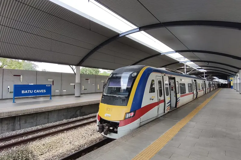
Take the KTM Komuter to Batu Caves, the end of the line, about 30 minutes from KL Sentral; the station is beside the temple. Until about the end of 2026, weekday trains run only about hourly between 10am and 4pm. Read the guide →
Do Penang buses take cards?
Regular Rapid Penang buses take cash only and the driver gives no change, so carry small notes. The CAT shuttle around George Town is free. Read the guide →
Public Transport Live is an independent guide built on open data, not affiliated with any operator.
Fares, rules and timetables change — check the live tracker and the operator before you travel.
Route figures and maps: Malaysia Open API (Prasarana, KTMB, APAD) and LTA DataMall · Map data © OpenStreetMap contributors
· Basemap © Protomaps · Photos from Wikimedia Commons under open licences — photo credits
· Android app · Terms & Privacy