Singapore MRT Lines Explained — Map, Interchanges & Crowding
Singapore's MRT is dense enough that the network map looks intimidating; in practice six colour-coded lines and a simple rule — follow the colour, check the terminus — get you anywhere.
The lines
| Line | Colour | Runs between |
|---|---|---|
| North–South (NSL) | Red | Jurong East ↔ Marina South Pier |
| East–West (EWL) | Green | Pasir Ris ↔ Tuas Link (+ Changi Airport branch) |
| Circle (CCL) | Orange | the full loop via Bayfront and Marina Bay |
| North East (NEL) | Purple | HarbourFront ↔ Punggol |
| Downtown (DTL) | Blue | Bukit Panjang ↔ Expo |
| Thomson–East Coast (TEL) | Brown | Woodlands North ↔ Bayshore |
Plus the Bukit Panjang, Sengkang and Punggol LRT loops feeding their MRT stations.
Interchanges that save you time
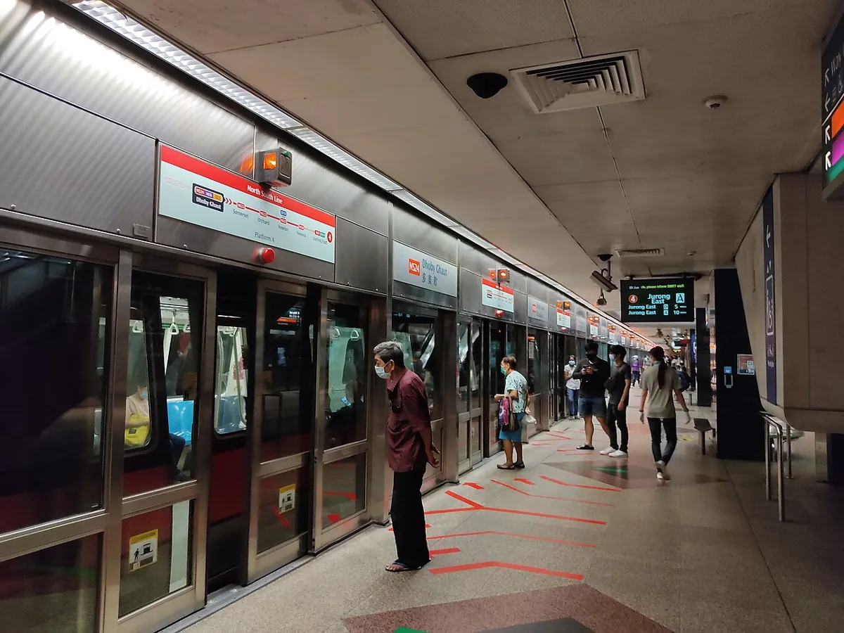
- Dhoby Ghaut — NSL, NEL and CCL under one roof.
- City Hall / Raffles Place — cross-platform NSL ↔ EWL; the fastest changes in the system.
- Tanah Merah — the change for Changi Airport by EWL.
- Orchard — NSL ↔ TEL, deep but well-signed.
Live platform crowding
Singapore publishes real-time platform crowd levels — the only real-time rail data LTA offers. Open any MRT line in the live tracker and busy stations show a busy or crowded badge, straight from LTA's feed. Trains run every 2–5 minutes, so "when is the next train" matters less than "will I fit on it".
First/last trains
Most lines run roughly 5:30 to midnight, stretched on New Year's Eve and trimmed on maintenance weekends — verify in the tracker's timetable view for your exact station before a late night out.