KL MRT, LRT & Monorail: Complete Line Guide (2026)
The Klang Valley rail network can be confusing on the first ride: eight lines, three different technologies, and interchange stations whose names don't always match. This is the map in words.
Putra HeightsAmpangKwasa DamansaraSunway-Setia JayaBandar UtamaGombakSentul TimurKajangPutrajaya SentralUSJ7
The lines at a glance
| Line | Code | Runs between (from the feed) | Stations |
|---|---|---|---|
| MRT Kajang Line | KGL | Kwasa Damansara ↔ Kajang | 29 |
| MRT Putrajaya Line | PYL | Kwasa Damansara ↔ Putrajaya Sentral | 36 |
| LRT Kelana Jaya Line | KJL | Putra Heights ↔ Gombak | 37 |
| LRT Ampang Line | AGL | Ampang ↔ Sentul Timur | 18 |
| LRT Sri Petaling Line | SPL | Putra Heights ↔ Sentul Timur | 29 |
| LRT Shah Alam Line | SAL | Bandar Utama ↔ Johan Setia | 20 |
| KL Monorail | MRL | KL Sentral ↔ Titiwangsa | 11 |
| BRT Sunway Line | BRT | Sunway-Setia Jaya ↔ USJ7 | 7 |
Most lines run roughly 6:00–23:30; exact next departures for any station are in the live tracker.
Hours drift with timetable updates and holidays — check any station's next departures in the live tracker rather than trusting a printed time.
Interchanges worth knowing
- KL Sentral — the hub: KJL, Monorail (short walk to KL Sentral Monorail), KTM, and MRT Muzium Negara via a linked walkway.
- Masjid Jamek — KJL ↔ AGL/SPL cross-platform, the busiest interchange in the old city core.
- Pasar Seni — KJL ↔ MRT Kajang Line, plus a bridge to KTM Kuala Lumpur station.
- Putra Heights — southern loop where KJL and SPL meet.
- Kwasa Damansara — where both MRT lines begin; cross-platform between KGL and PYL.
Which technology am I riding?
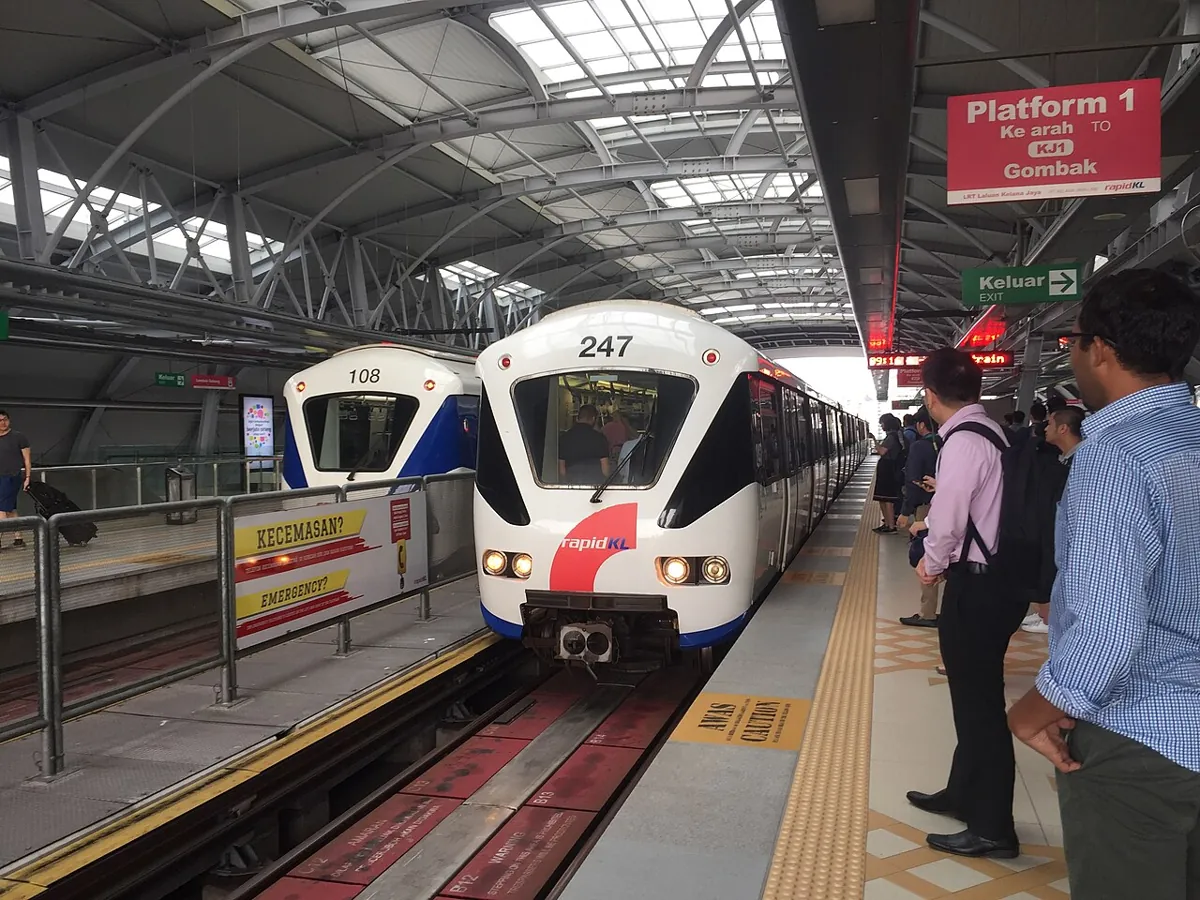
It matters less than it sounds, but: MRT trains are the newest and longest; LRT is driverless on the Kelana Jaya line; the Monorail is the short two-car line threading through Bukit Bintang. All use the same Touch 'n Go / tokens / MyRapid cards.
Planning a trip across lines
Type your origin and destination into the journey planner and it will chain rail lines and feeder buses with transfer walking times — or browse each line's stations on the all-routes list.