Singapore Sights by MRT — Nearest Station & Exit for Each
Singapore's MRT stops at, or right underneath, almost every major sight. The detail that saves time is the exit letter — big stations have half a dozen. Station codes like CC34 are on every sign and map, so we've included them.
New in 2026: the Circle Line became a full loop on 12 July 2026, with new stations at Keppel, Cantonment and Prince Edward Road. HarbourFront (for Sentosa) to Marina Bay is now a single train ride, and Bayfront and Marina Bay have new Circle Line codes (CC34 and CC33).
Marina Bay
| Sight | Station | Exit |
|---|---|---|
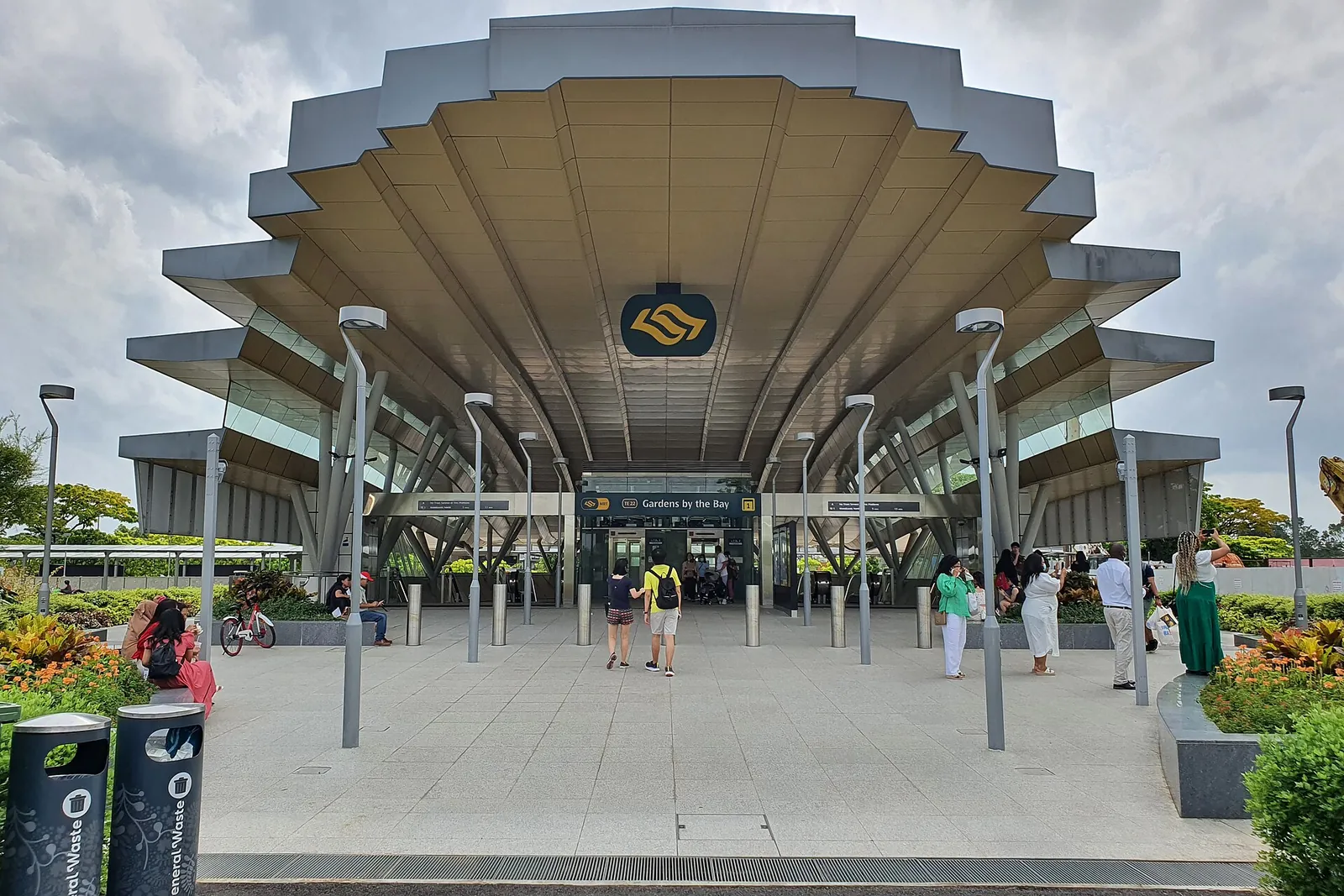
| Gardens by the Bay | Gardens by the Bay (TE22) or Bayfront (CC34/DT16) | TE22 Exit 1; Bayfront Exit B, then the underground linkway |
| Marina Bay Sands — hotel & SkyPark | Bayfront (CC34/DT16) | Exit B (hotel) or C (shops, SkyPark) |
| ArtScience Museum & theatres | Bayfront | Exit D |
Sentosa & Universal Studios
Start at HarbourFront (NE1/CC29), which opens into VivoCity mall. Then pick one:
- Sentosa Express monorail from VivoCity Level 3 — S$4 to enter the island, then free rides around Sentosa and back out. Tap a card at the gate. Get off at Resorts World for Universal Studios.
- Walk the Sentosa Boardwalk from VivoCity (Lobby F, Level 1) — a short, free walk across the water.
- Bus 123 — the normal bus fare, no entry charge.
Buses and beach trams on Sentosa itself are free.
Zoo, Night Safari & Bird Paradise (Mandai)
Take the North–South Line to Khatib (NS14), leave by Exit A, and board the M2 Mandai Khatib shuttle bus — S$2.50, every 15 minutes, about 20 minutes, cards and phones accepted. Alternatives: bus 138 from Ang Mo Kio (NS16) or Springleaf (TE4), or bus 927 from Choa Chu Kang (NS4).
Neighbourhoods
| Sight | Station | Line |
|---|---|---|
| Chinatown, Pagoda Street | Chinatown (NE4/DT19), Exit A | NEL, DTL |
| Maxwell Food Centre | Maxwell (TE18) | TEL |
| Little India | Little India (NE7/DT12) | NEL, DTL |
| Orchard Road | Orchard (NS22/TE14) | NSL, TEL |
The airport & Jewel
Changi Airport station (CG2) is on the East–West Line's airport branch — change at Tanah Merah. Jewel is 5–10 minutes' walk over the link bridges from Terminals 2 and 3. More in our airports guide.
The lines, live
Each line's stations, interchanges and timetable:
| Route | Runs | Stops | |
|---|---|---|---|
| NSL | Jurong East (NS1) ↔ Marina South Pier (NS28) | 27 | Stops & times |
| EWL | Pasir Ris (EW1) ↔ Tuas Link (EW33) | 33 | Stops & times |
| NEL | Harbourfront (NE1) ↔ Punggol Coast (NE18) | 17 | Stops & times |
| CCL | Dhoby Ghaut (CC1) ↔ Bayfront (CC34) | 33 | Stops & times |
| DTL | Bukit Panjang (DT1) ↔ Expo (DT35) | 35 | Stops & times |
| TEL | Woodlands North (TE1) ↔ Bayshore (TE29) | 28 | Stops & times |
Trains run from about 5.30am to around midnight, every 2–3 minutes at peak and 5–7 minutes otherwise. The live tracker shows platform crowding at every station, straight from LTA.