KLIA & Changi by Public Transport — Cheapest and Fastest Ways (2026)
Both airports are genuinely reachable by public transport — the trick is matching the option to your luggage, hour and budget.
KLIA / KLIA2 (Kuala Lumpur)
| Option | From | Time | Rough cost |
|---|---|---|---|
| KLIA Ekspres | KL Sentral, non-stop | ~28–33 min | RM55 |
| KLIA Transit | KL Sentral, 3 stops | ~36–40 min | RM55 |
| Airport buses | TBS / KL Sentral | ~60–75 min | RM12–15 |
The traps: KLIA Ekspres is fast but pricey for groups (a Grab can beat it per-person for three people); buses are honest value but hostage to highway traffic at peak hours — leave margin.
Changi (Singapore)
| Option | How | Time from city | Rough cost |
|---|---|---|---|
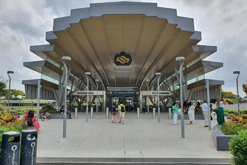
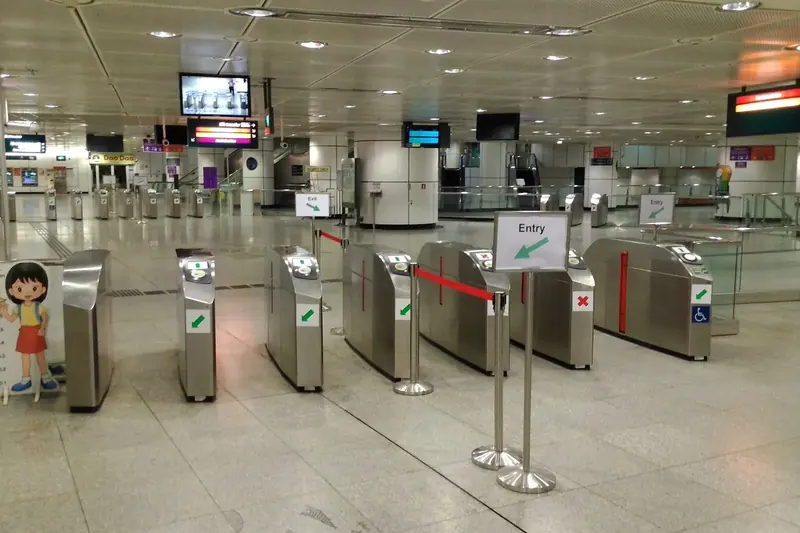
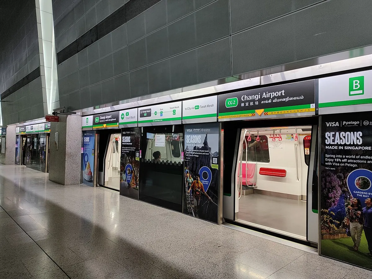
| MRT | EWL to Tanah Merah, change to the Changi branch | ~35–45 min | ~S$2 |
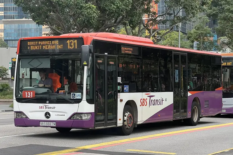
| Bus 36 | Orchard/Marina to all terminals | ~60 min | ~S$2 |
| Bus 24/27/34/53/110 | from the east side | varies | ~S$2 |
The trap: trains on the airport branch stop earlier than the rest of the network, and Singapore no longer runs overnight buses — for a late or very early flight, check the last train from your station first, or plan on a taxi. Track the airport buses live (position, not promise) in the Public Transport Live tracker, and use its journey planner with a departure time set to your flight morning to sanity-check the whole chain.
Rule of thumb
Two hours before a regional flight, three before long-haul — counting from stepping onto the first train or bus, not from the airport door. Every time in this guide is typical, not promised; check live before you commit.